Zumwalt Part II
/Zumwalt Prairie: Part II - Patti's Trail
This feature on Patti's Trail includes photos from two different days. The trail is part of the Nature Conservancy's Zumwalt Prairie Preserve in far NE Oregon, near Joseph, OR. You may read Part I for background, but it's not necessary to this story.
Beginning each of my day-trips into Zumwalt with the less-common approach from the north, this October day I got an earlier start, and thus the morning light.
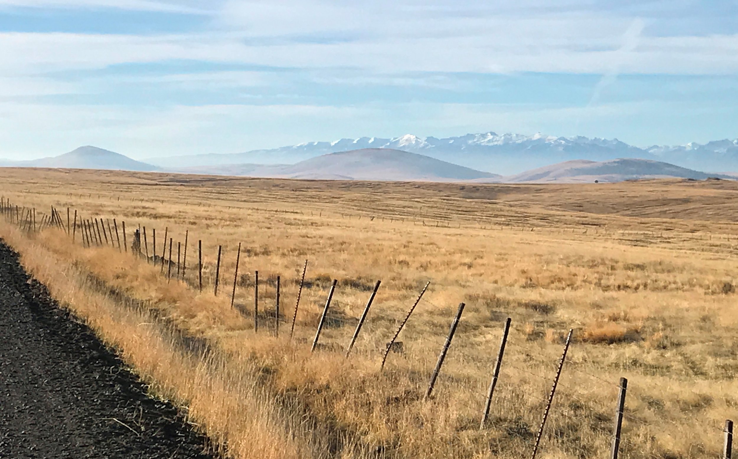
Driving in from the north, you get a grand view of the distinctive three Findley Buttes that signal the Zumwalt Preserve, and the Wallowa Mountains behind. My hike this day would be on Patti's Trail, which begins between the middle and left buttes in the photo below.

Turn off of Zumwalt-Buckhorn Road at this sign.
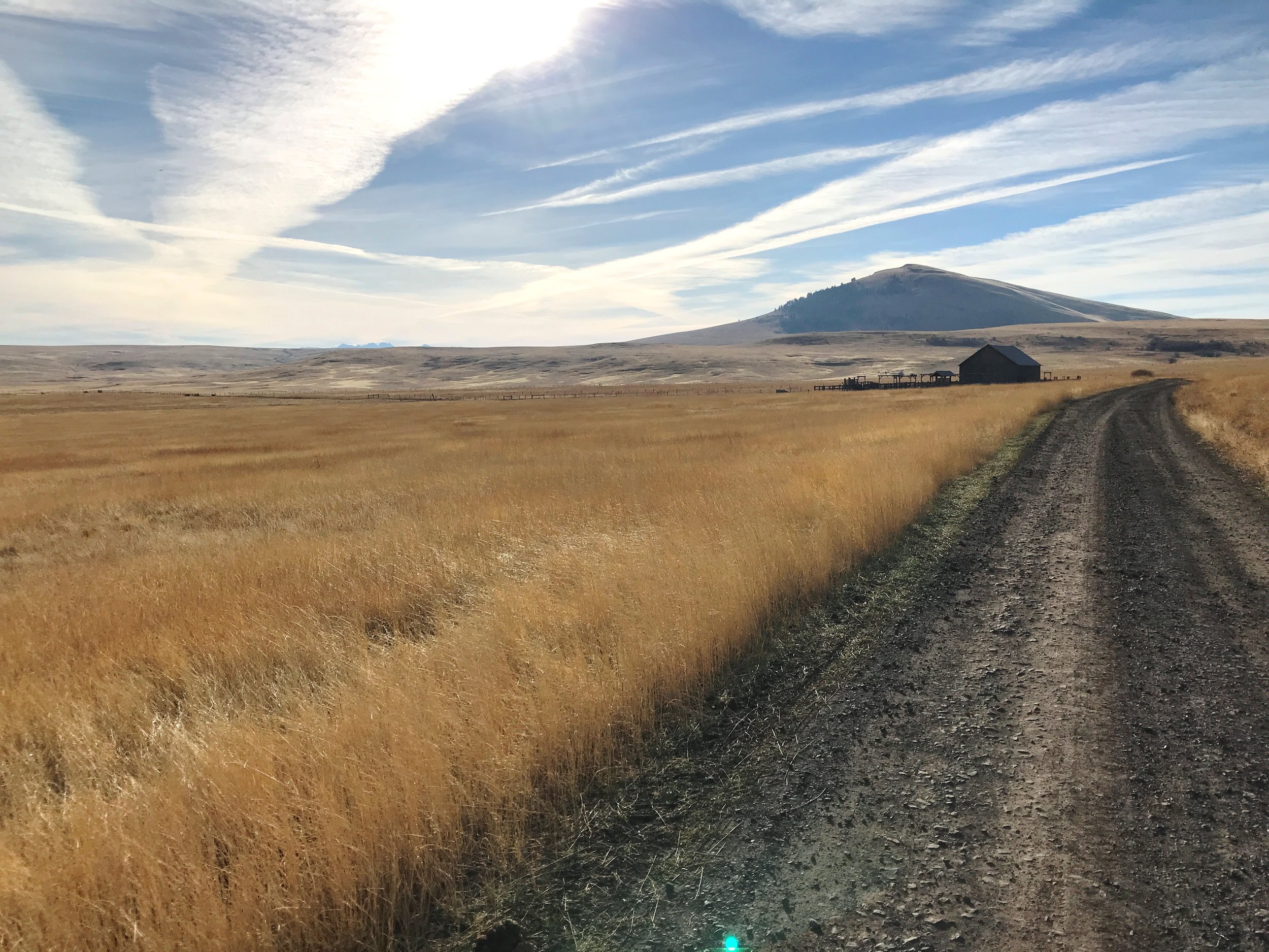
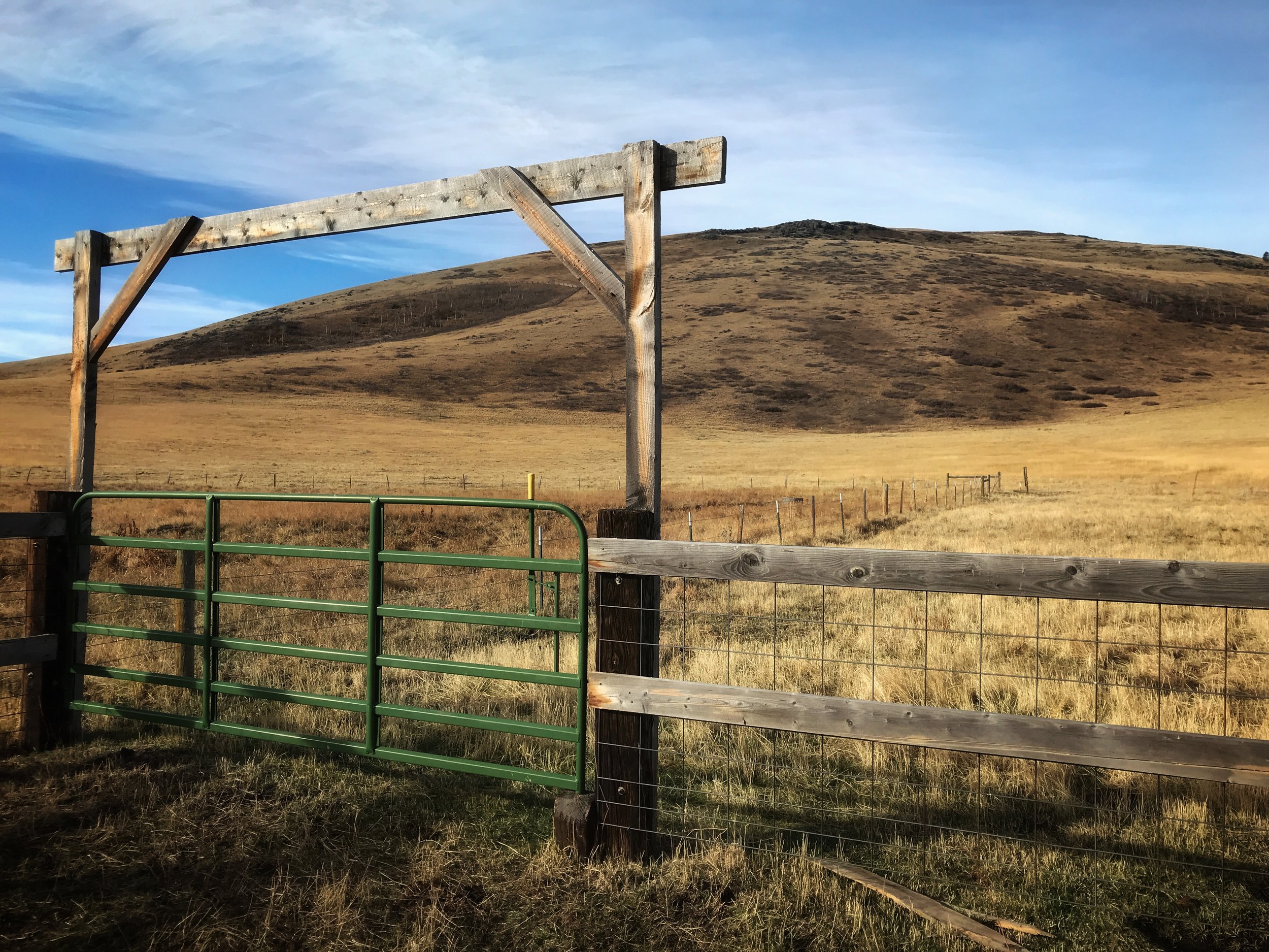
Duckett Road, Duckett Barn, and Harsin Butte.
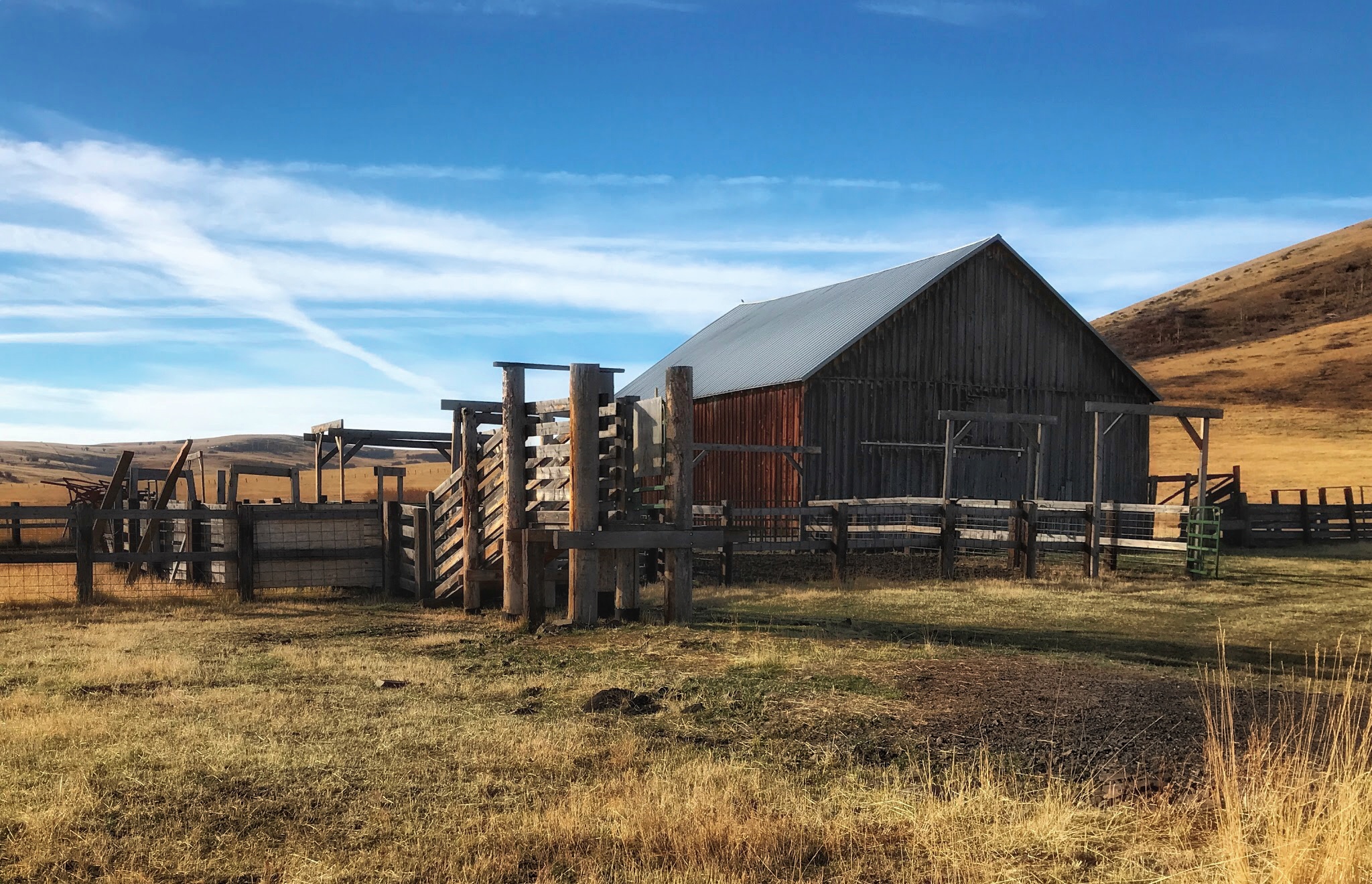
Drive a mile or two down the road, and you come to the Duckett Barn, now a Zumwalt Preserve property. The barn and coral here showed recent activity of cattle & ranchers, but it seems more commonly there is not a soul in site.
The Conservancy has established a parking lot and information kiosk here. Photogenic place!

Duckett Barn and coral
The middle Findley Butte, as seen from the Duckett Barn.
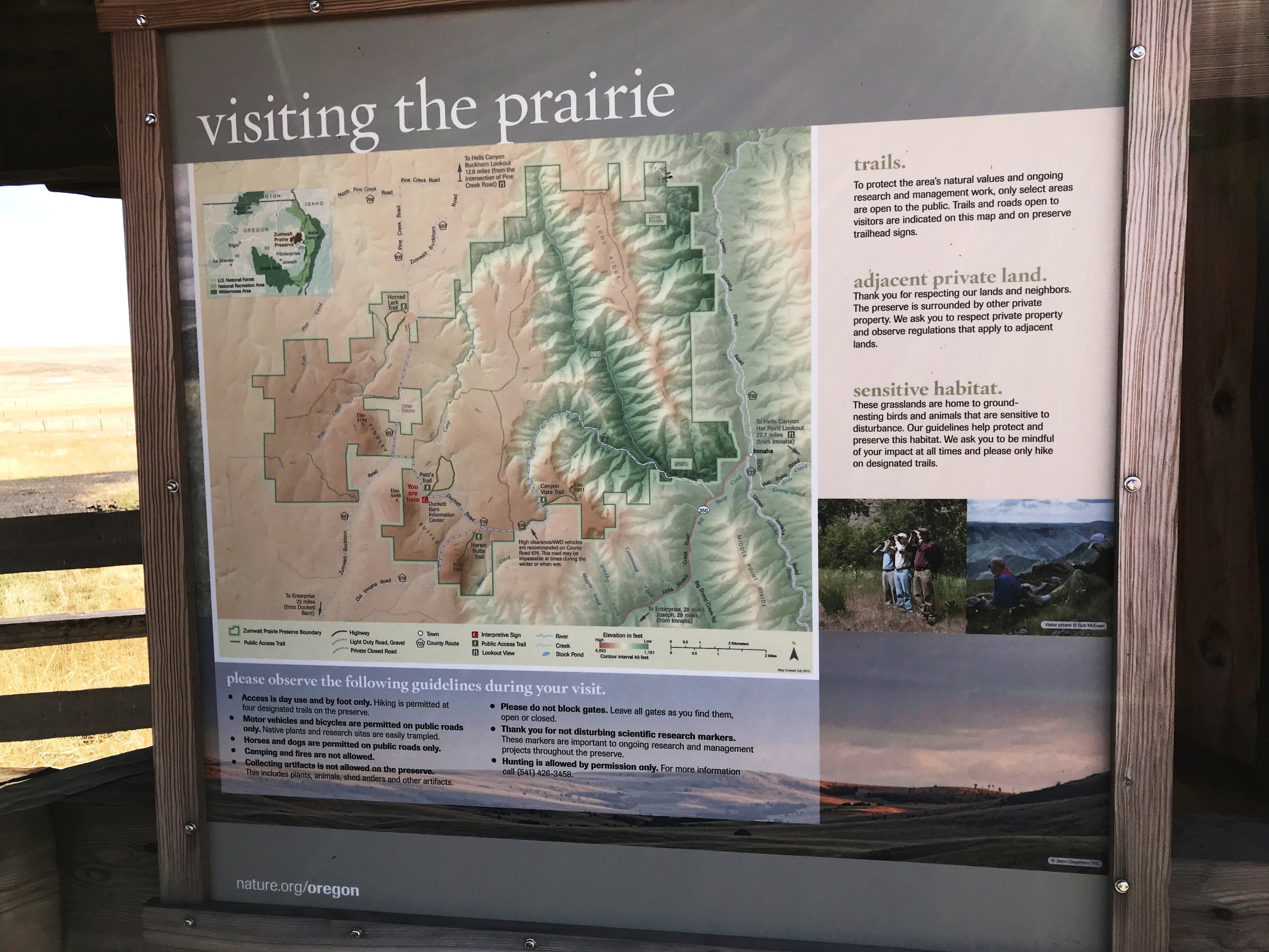
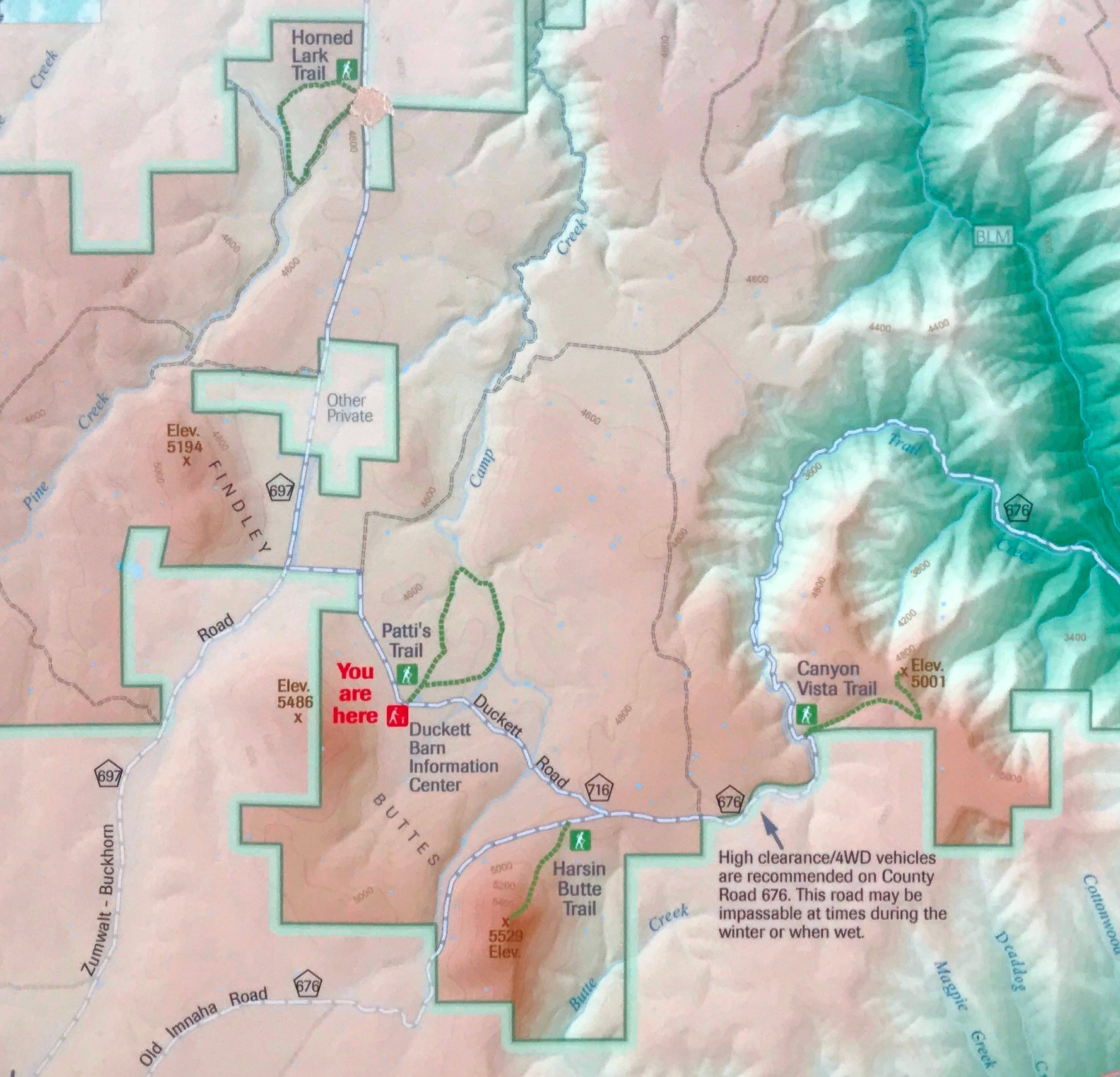
The information kiosk at Duckett Barn.
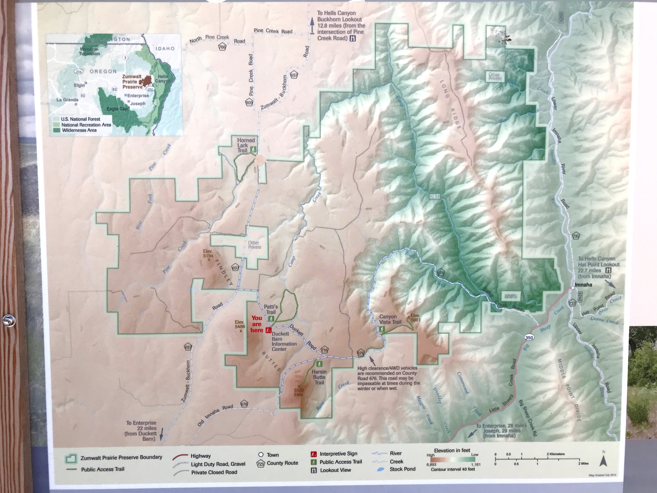
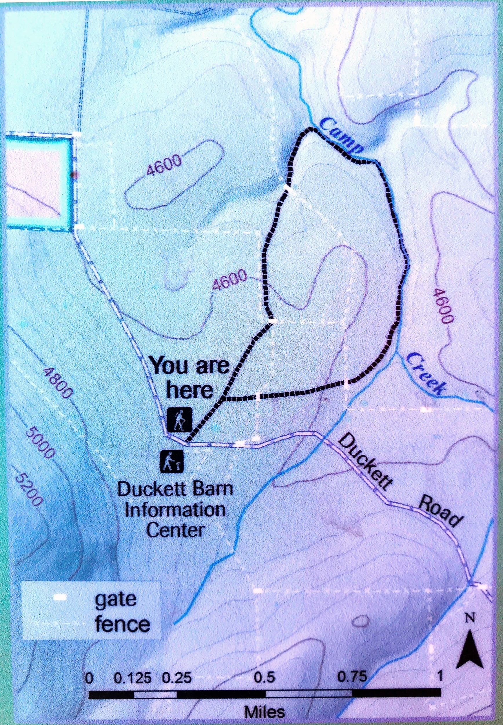
The map at the kiosk shows an overview of the 50 square miles of the Preserve. The Imnaha River is on left, running direcly south-north. The darker green symbolizes lower elevations (deep, steep canyons), and the pinks and browns are higher elevations. Note the three Findley Buttes of Zumwalt Preserve. The overall Zumwalt Prairie is around 4000'+ elevation.
Patti's Trail
Directly across from the Duckett Barn parking lot is Patti's Trail trailhead. This gentle path heads north/northeast, in a gorgeous, straight line.

Patty's Trail, heading toward the breaks of Camp Creek
It's extraordinarily compelling. In the near distance, the headwaters of Camp Creek begin to drop, and carve their sculpture of earth.
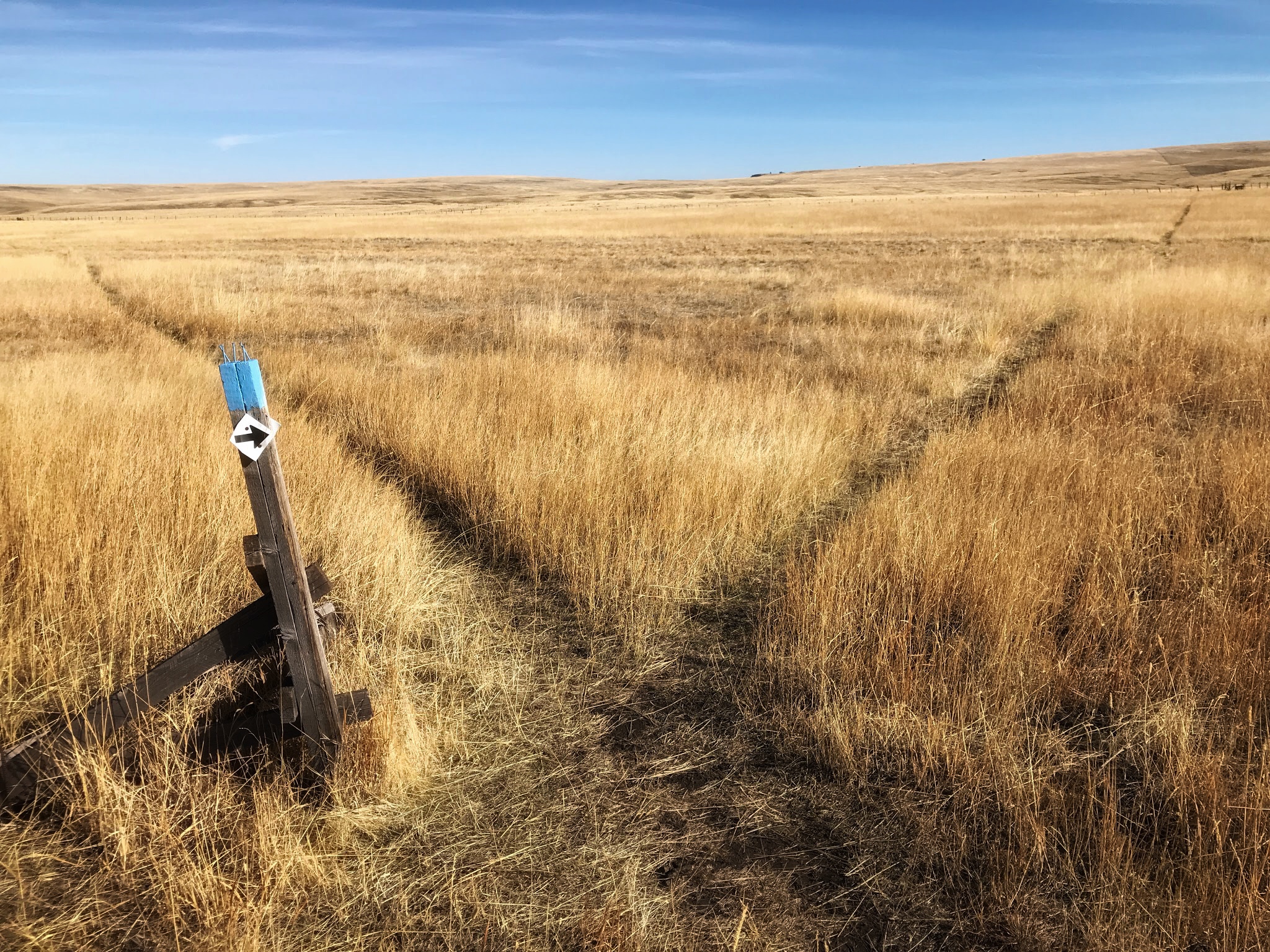
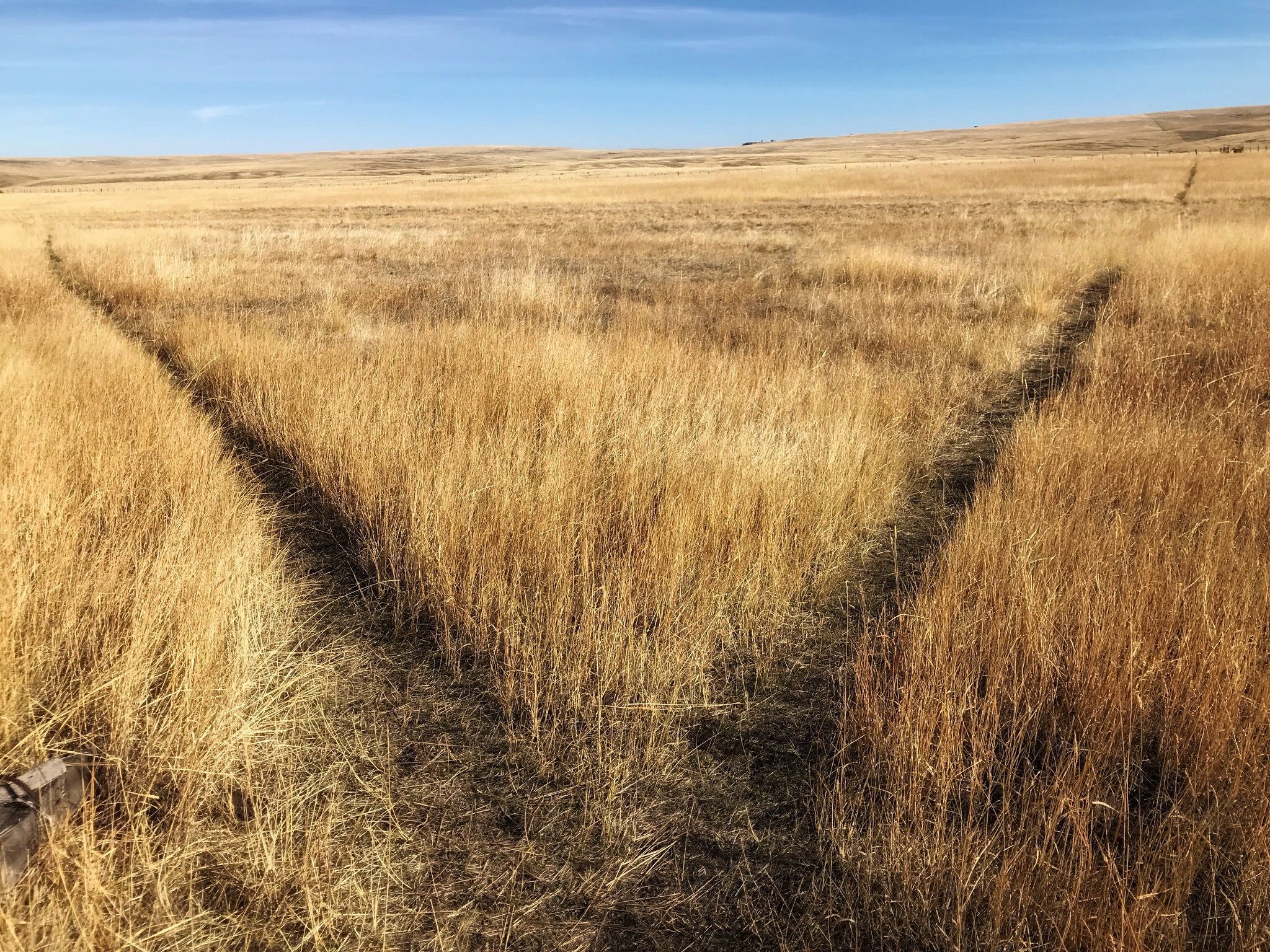
From the map, I knew this to be a loop trail, and this crossroads is where the loop began. The handy blue-painted post caps help prevent what did feel like the Scarecrow's way to go!
"Two roads diverged in a wood, and I...I took the one less traveled by..."
I actually don't need much to think of Robert Frost! No matter that this is not a wood, nor is one path more traveled than the other. But still, such a cool "road of life" metaphor, shown visually and physically! I do believe humans have a visceral feeling for such a scene. It is primeval.
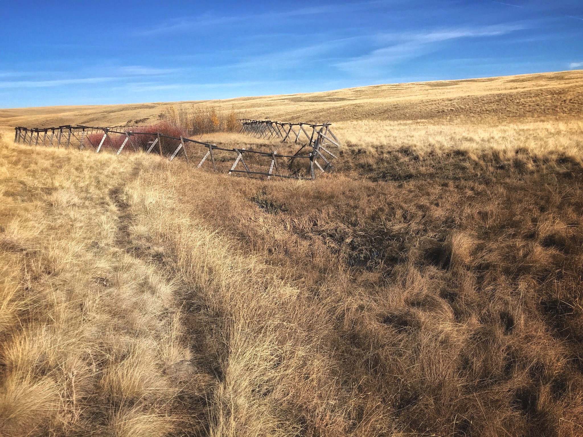
After some field walking and a fence crossing, the trail drops away from the high fields and into the Camp Creek draw. Eventually you come upon one of the riparian grove protection fences. I'm still a student of good deer fences at home, so forgive me as I geek out a little on the Conservancy's fences!
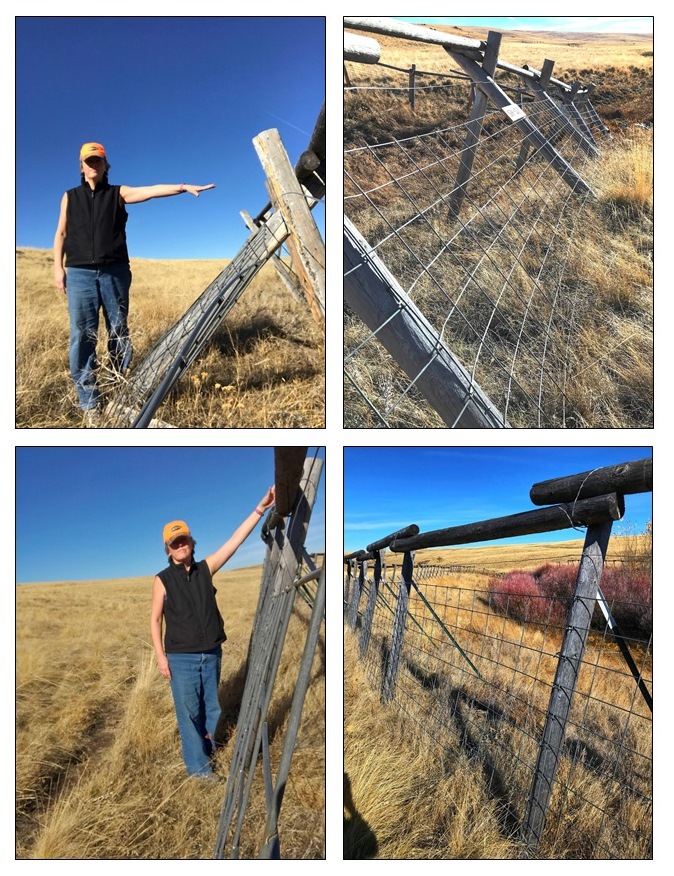
The section of fence line that sloped down into the small creek, had a tripod construction, low and broad, and was only as tall as me (~5.5 feet). As the fence transitioned to the higher sides, the posts got more vertical. But it was still only as high as I can reach. It would keep out cattle, but I don't think deer or elk.
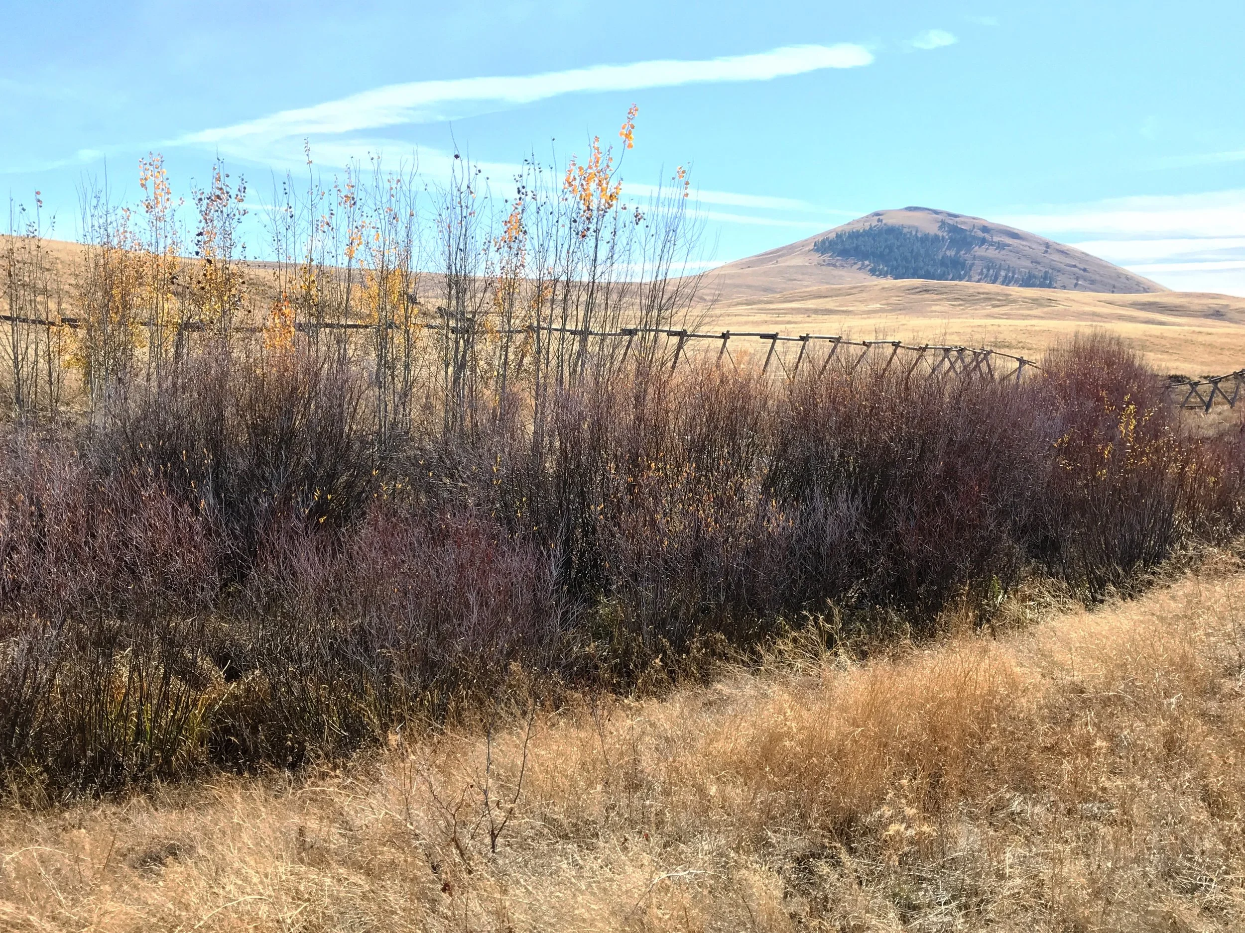
Aspen and red-osier dogwood in the protected riparian area.

Ultimately Camp Creek feeds into the Imnaha River, where the canyons are deep and breathtaking. Here along Patti's Trail, you're walking just along the upper breaks, still yet a shallow draw.
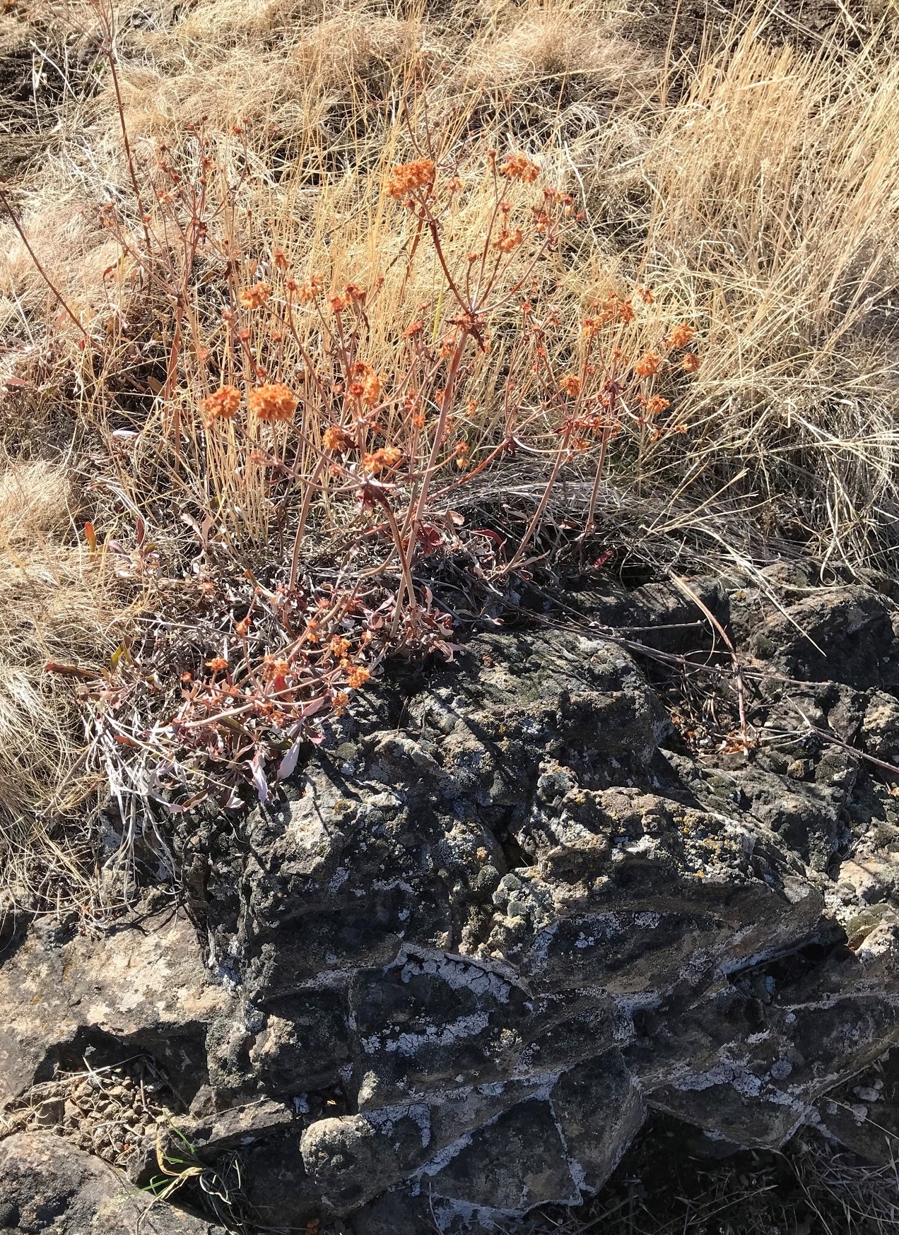
Possibly Blue Mountain Buckwheat
Couldn't identify many plants at this late season, but that didn't stop me from trying! Growing amid the basalt-y outcrops, this might be the Eriogonum called Blue Mountain Buckwheat (Eriogonum strictum), based on the orange/russet of its dried flowers.
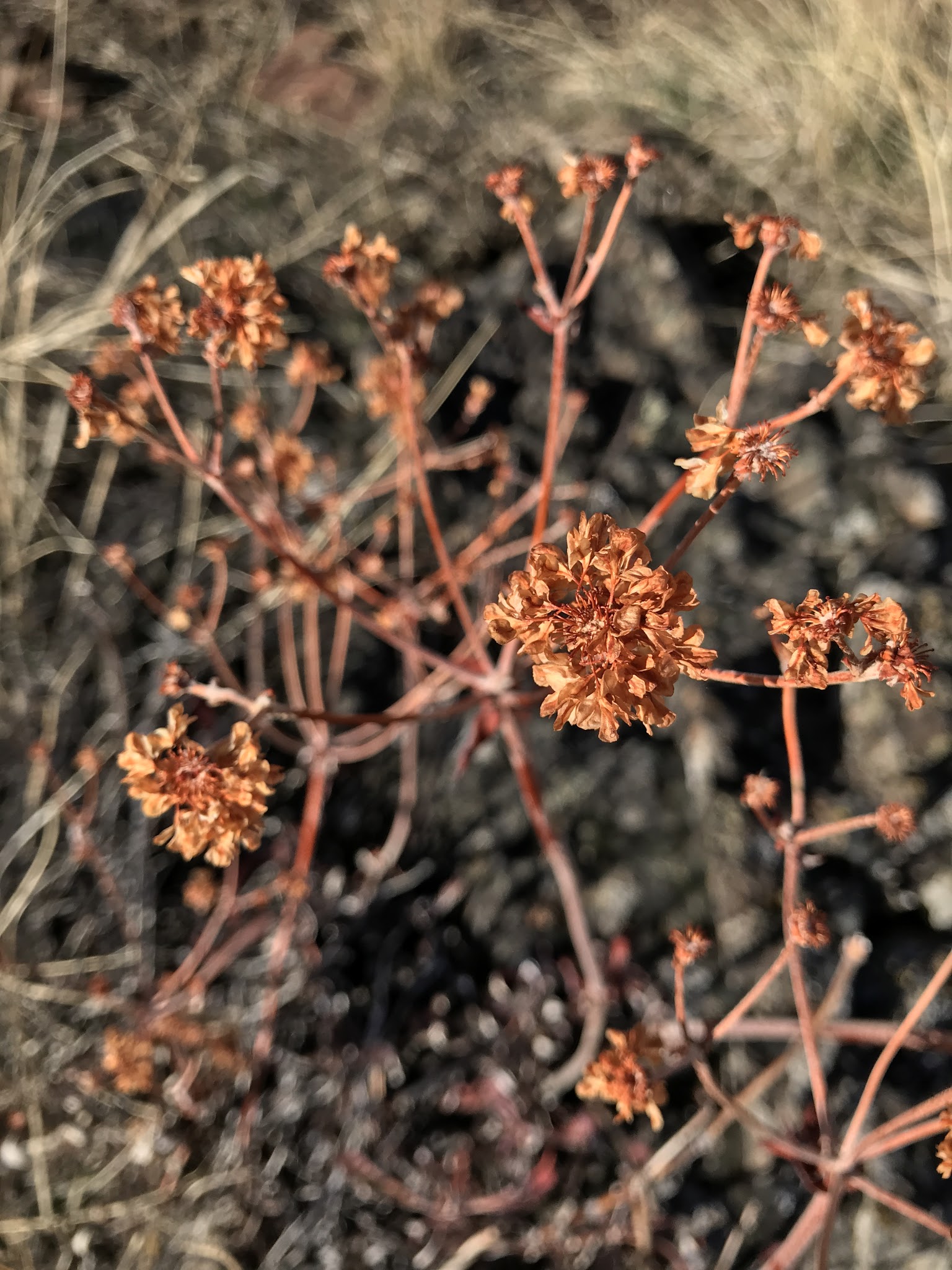
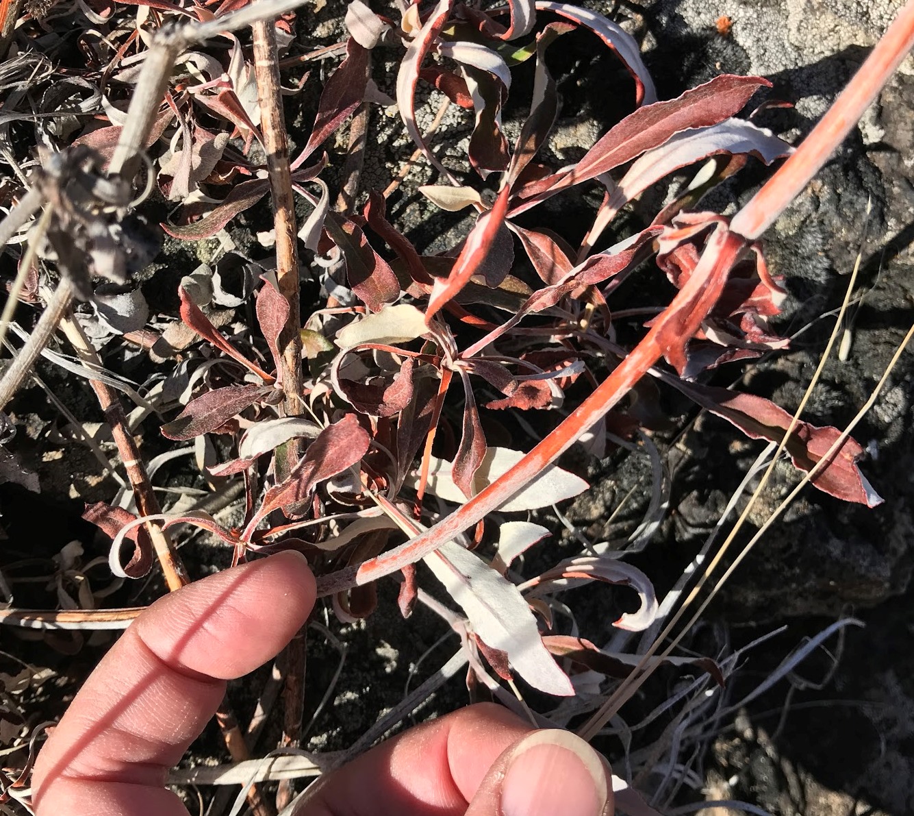
Possibly Blue Mountain Buckwheat
The ferny-foliaged forb below was everywhere across this late-fall prairie. Very low to the ground, it was none-the-less easy to spot because parts of it were starting to green up after October rains.
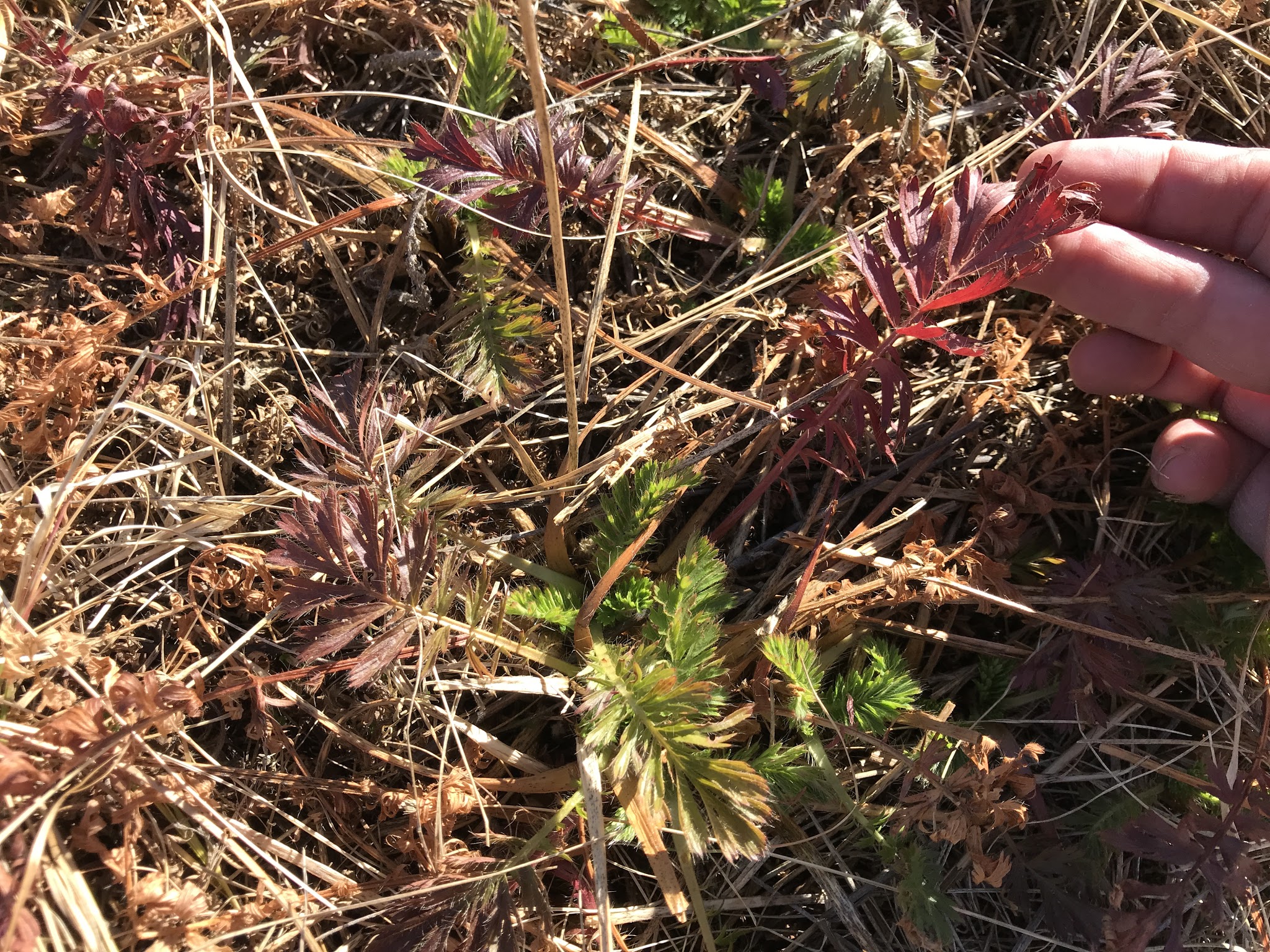
Ferny-foliaged forb that was everywhere
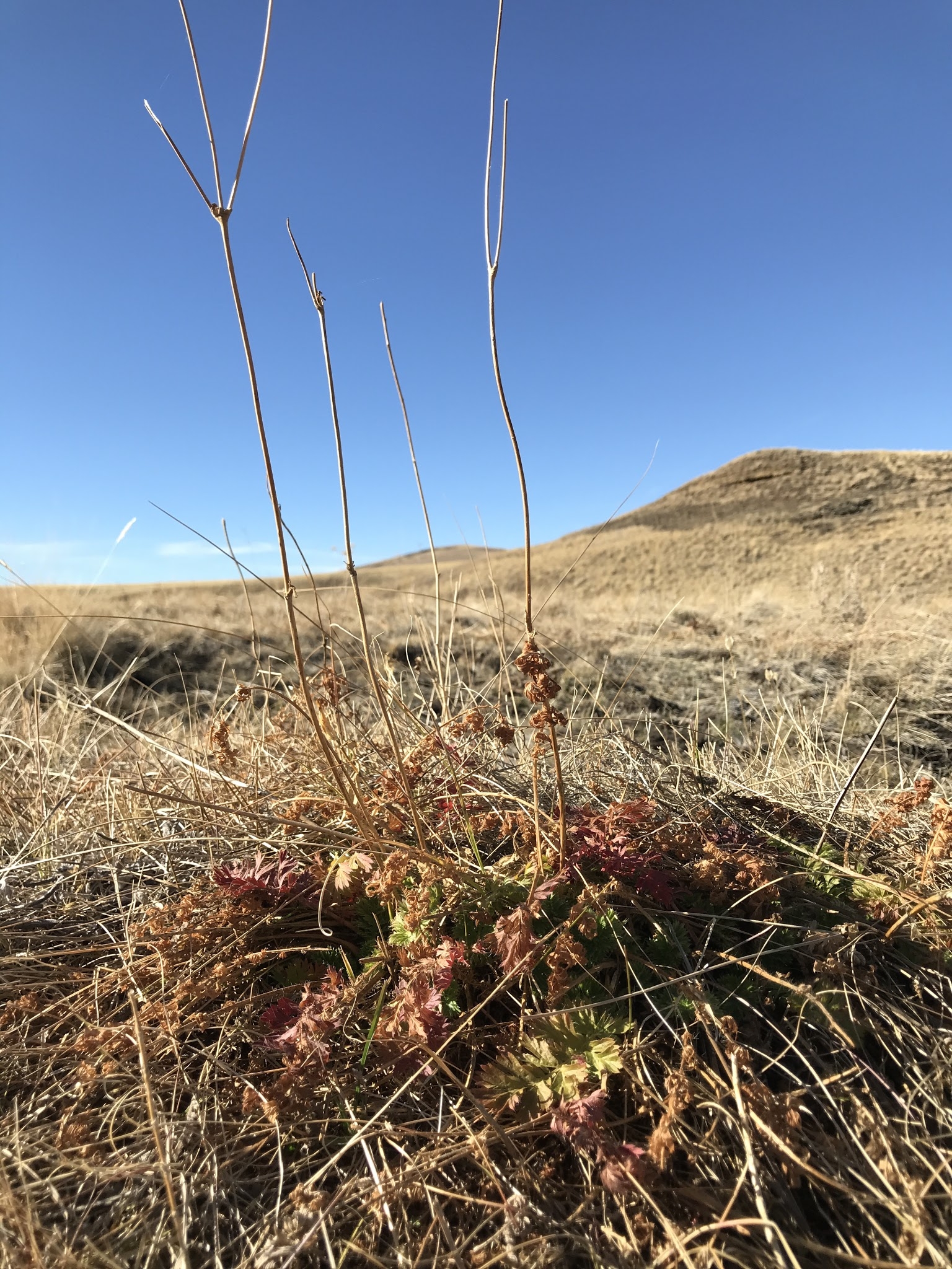
Flower stalks of the ferny-foliaged forb.
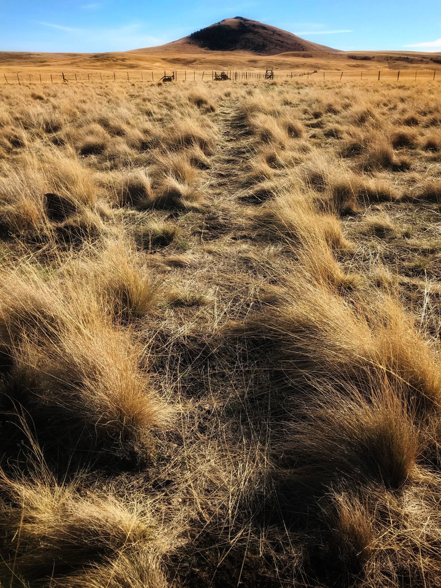
Patty's Trail through bunchgrass prairie, and Harsin Butte.

The most likely bunchgrass I was witnessing over this entire hike was (is) Idaho Fescue (Festuca idahoensis), the common native bunchgrass throughout the region.
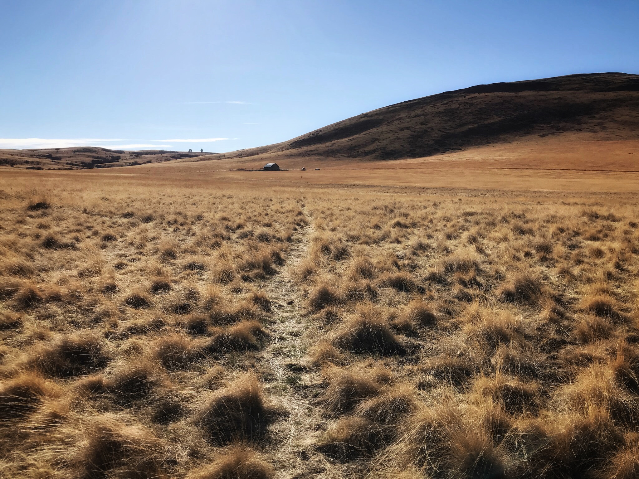
The trail leads back to the start point of Duckett Barn. In the photo above, the foreground is the native bunchgrass. Between the foreground and the barn, the field subtly changes. The grasses become more uniform, appearing all the same age, and not "clumping".
I am wondering if this field was part of a controlled burn (restoration efforts), and these are young native grasses (?), planted deliberately after the burn, not yet mature enough to form the clumps as they do with age.

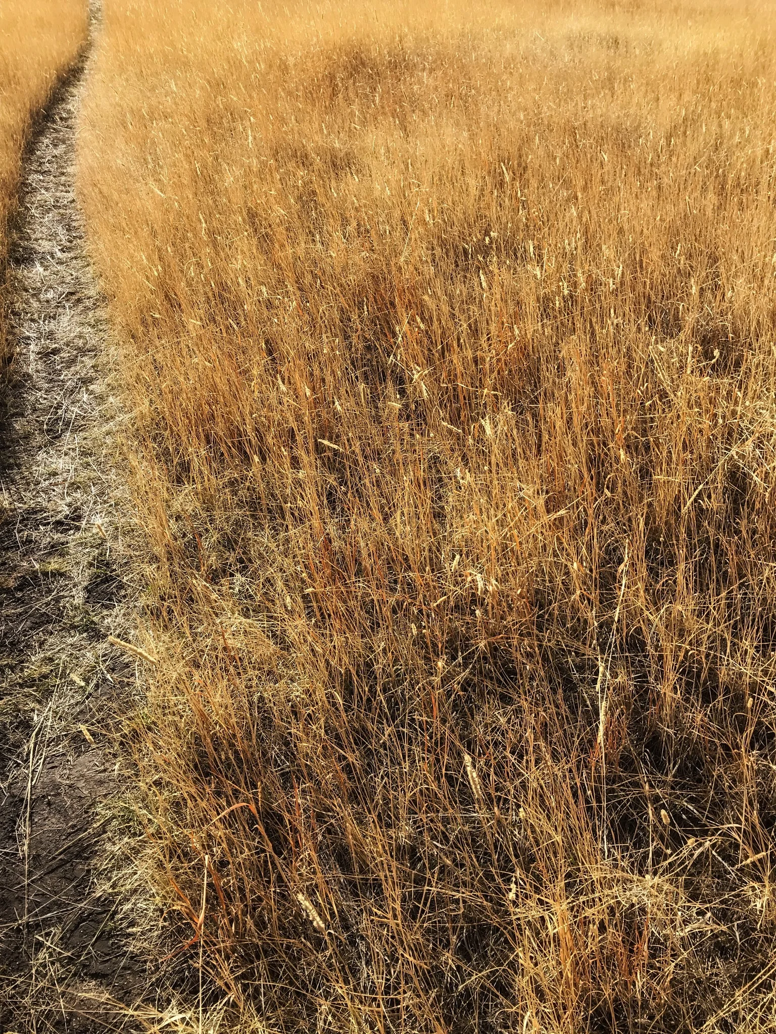
"Foxtail" seedheads. All I know is that it's not a Fescue (e.g. Idaho bunchgrass).
If this was a controlled burn, it's also a study area. I would love to return and observe how the study is going, learn the species, see what's working and not working.

Walking back to Duckett Barn, with it's kiosk in the middle, and my truck on the right,
you can see how soft and sweet the field of grasses was. Harsin Butte is on the left. The middle butte on the right. The photo above was my last picture of that day.
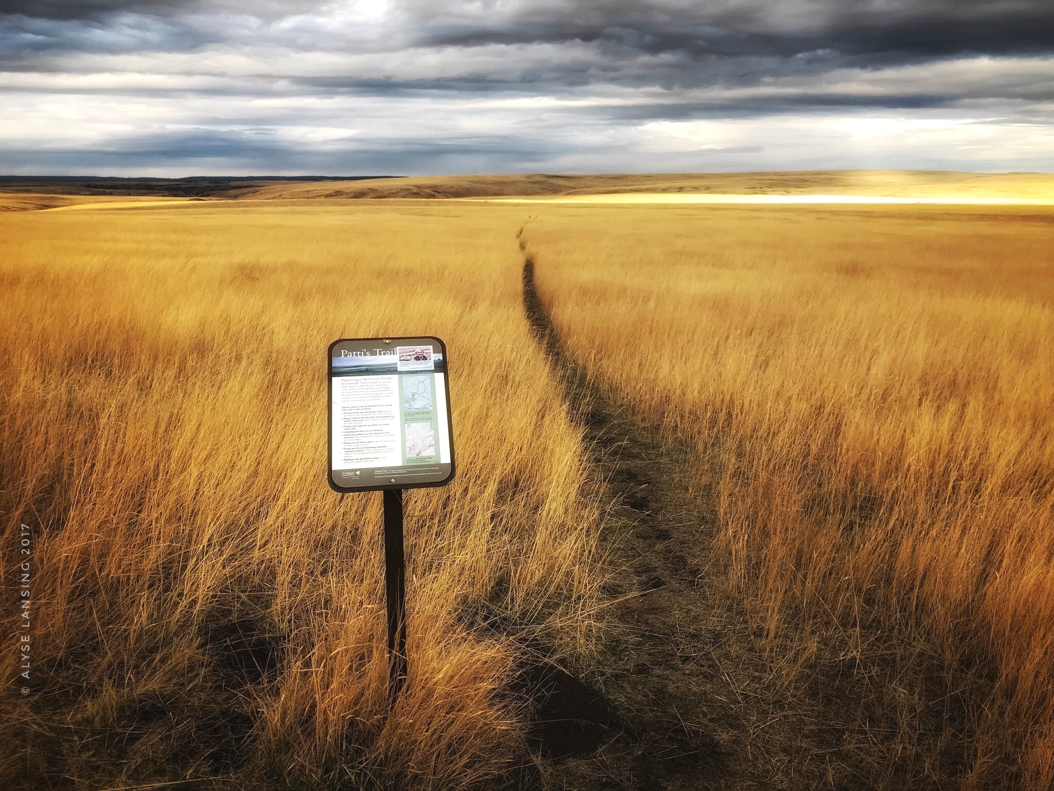
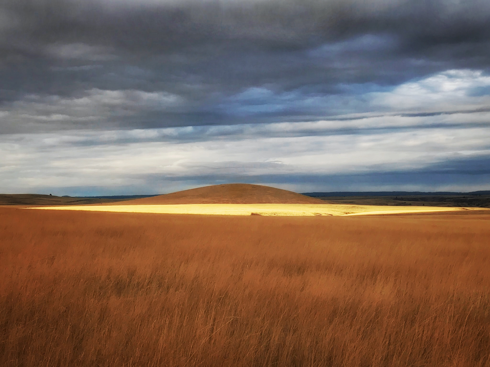
I also visited Patti's Trailhead near dusk a different day. In that killer light, it was even more dreamy, more dramatic. But very much the same in its feeling of peace.

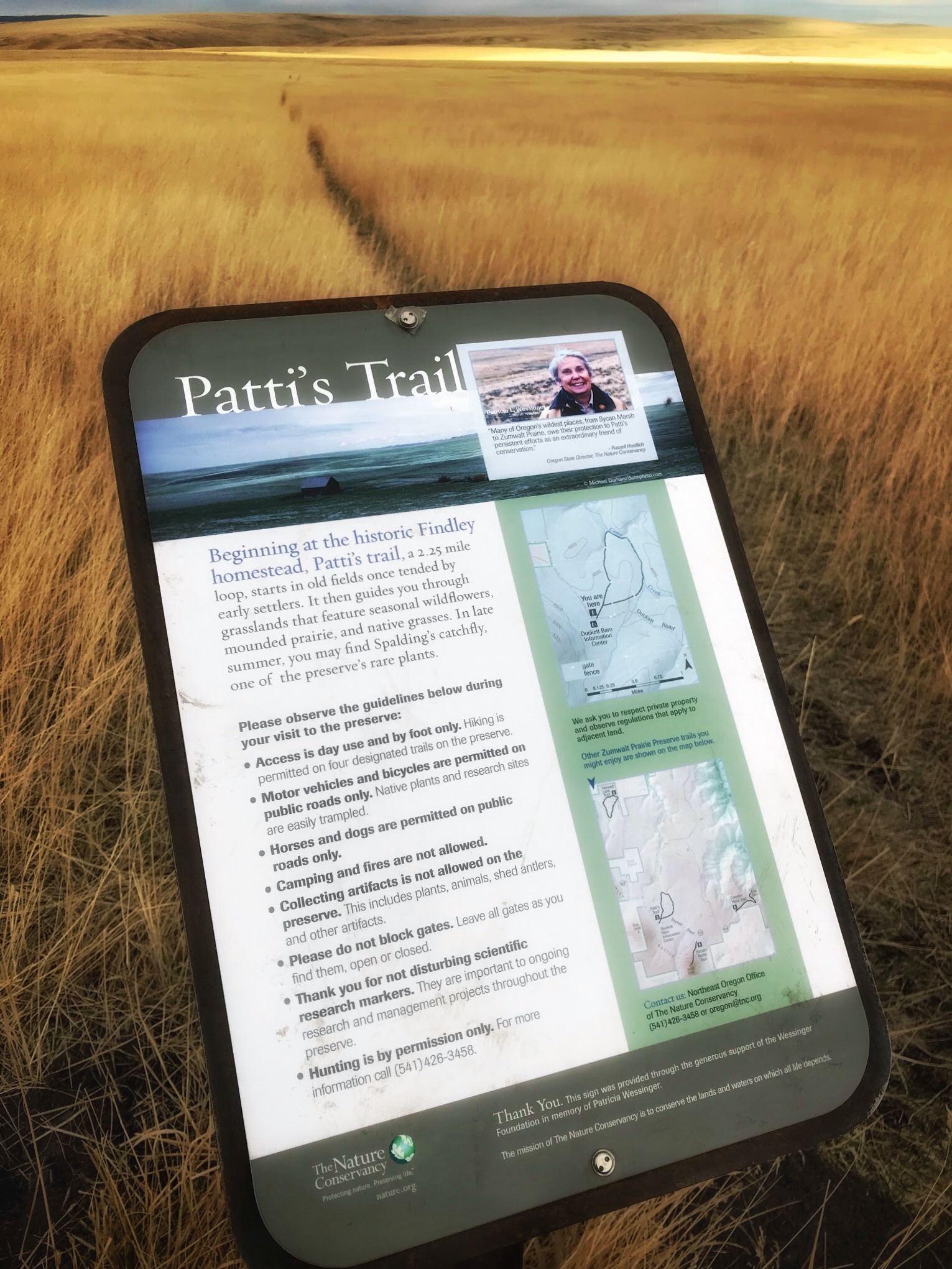
The sign features Patti's Trail's namesake, Patricia Wessinger (for whom I am very thankful!).
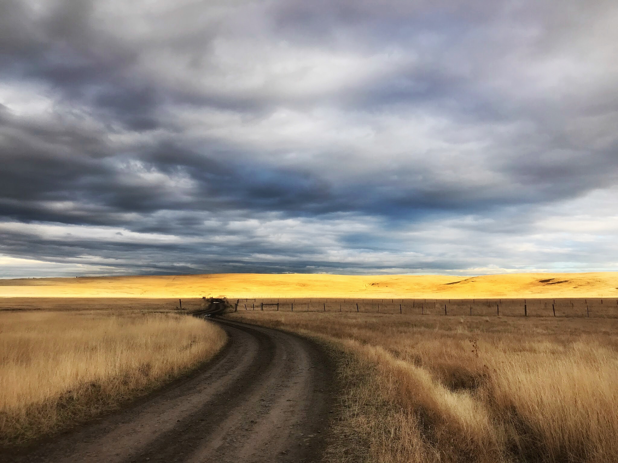
Duckett Road, heading east.
Zumwalt Prairie heaven
I found Zumwalt Prairie Preserve to be one of the most peaceful places on earth. I do not say that lightly. There was a powerful feeling of quiet here. I'm truly grateful for the forethinking individuals who made all early efforts to preserve this place, and the current managers who share it now, and work towards a better future.
To plan your own trip, see Nature Conservancy Oregon's Zumwalt page. Don't miss the "Visit" tab near the top. There's a link to a printable directions and map of the public access trails.
The current issue of Nature magazine (winter 2017) has a great article on Zumwalt: "Conservation Cowboys."
Thank you for stopping by! Your comments are most welcome. If you are reading this in an email, click here to comment.